Founded in 1956 as the photogrammetry department of Clyde E. Williams & Assoc. (CEWA), a professional engineering company, the primary services were photogrammetry, which included a full photographic laboratory and photogrammetric mapping in support of engineering projects.

During the 60’s, 70’s and 80’s, most of the aerial survey work was to complete 1″=30′ or 1″=50′ scale planimetric mapping and 1′ contours for engineering design projects.
The 70’s and 80’s were also a busy time for photo backed parcel mapping. Plotting deeds on aerial enlargements and providing counties with parcel maps that have the aerial enlargement backing them in a bound book. In 1990, the conversion was made to digital collection on the analog stereo plotters using
KORK digital mapping software. In 1991, CEWA was the first private company to purchase the Zeiss/Jena LMK2000 professional mapping camera system. The advancements to the camera system included forward motion compensation (FMC), a gyro-stabilized mount and the high-resolution lens.
David Williams purchased the photogrammetry department of CEWA and Williams Aerial & Mapping, Inc. was formed in 1995, exclusively to provide photogrammetric services.
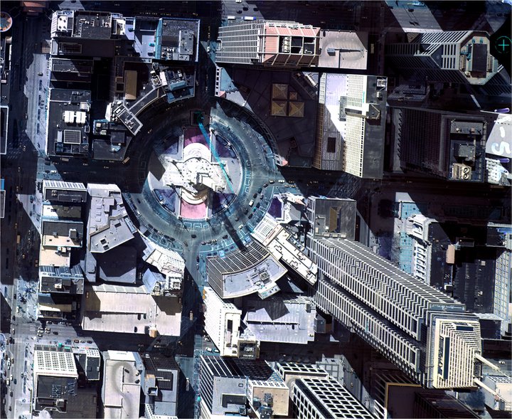
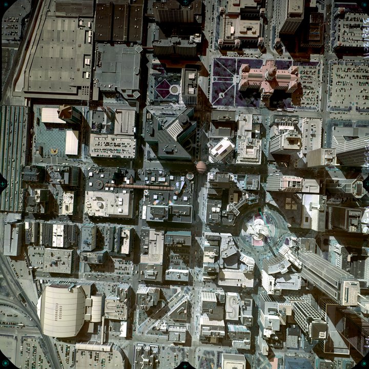
In the late 90’s, Williams continued to add new technology including 4-softcopy workstations, an analytical IMA first-order stereo-plotter, two Vexcel VK 4000 HT photogrammetric scanners, 3 aircraft and the Autometric/Boeing Softplotter v4.0 as well as Summit Evolution Datum soft copy system, Trimble Inpho’s photogrammetric suite and Microstation. Delivery of city base maps go back over 30 years. Williams delivered many city base mapping projects before computer aided drafting (CAD). The process would involve compilation, scribing, and photographic work to deliver mapping on mylar so the city could make blue line copies of the maps. Since the introduction of CAD and the excitement with the Geographic Information System (GIS), Williams has completed many county, city, and town GIS base maps. Our first digital orthophotgraphy project was in 1997 and since then we have completed many regional and countrywide projects. We have completed several county LiDAR projects starting in 2005 and our first mapping project for the Department of Energy was flown in 2009. Since the mid 90’s, Williams has continued to grow at a steady rate providing excellent service to each customer spanning the world.
Our Team

Rick Kosinski

Andrew Williams
President
awilliams@williamsaerial.com

Doug Gourley
Director of Corporate Ops
dgourley@williamsaerial.com
Mapping Department
William Moffitt
Eric Harringer
Abdullah Arslan
IT Department
Phil Corle
Michal Kloko
Pilots & Sensor Operators
We regularly staff over 20
pilots & sensor operators!