Committed to quality, flexibility, and customer service
We are a full service photogrammetric mapping and geospatial data firm. Our mission is to be recognized worldwide as the number one aerial survey company.
Products & Services
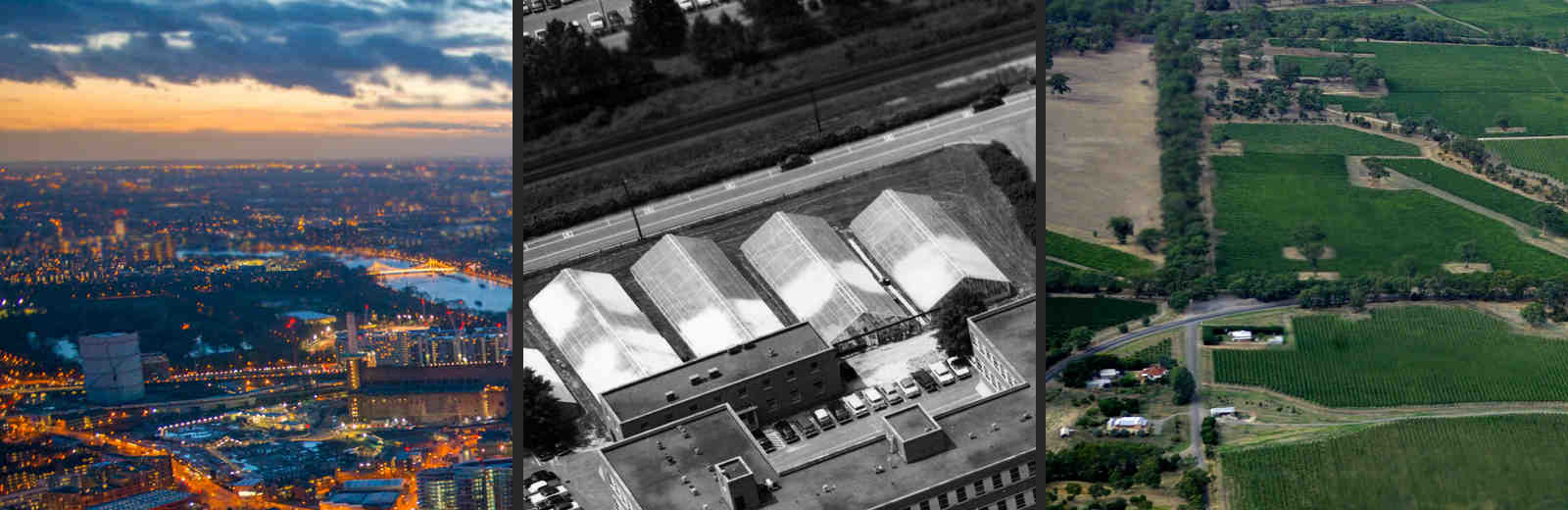
We provide Aerial Photography, Digital Mapping, LiDAR, GIS Base Maps, Digital Oblique Imagery, Parcel Mapping, Digital Orthophotography, and related products.
Photogrammetric Mapping
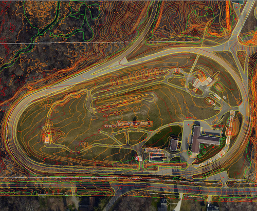
The two major features of Photogrammetric Mapping are Planimetric and Topographic Mapping. Planimetric mapping includes and identifies physical features such as roads, buildings, and vegetation, while Topographic Mapping is a collection of break lines and spot elevations. This method of mapping is a primary source for the creation of Digital Elevation Models (DEMs) and Digital Terrain Models (DTMs).
Digital Orthophotography
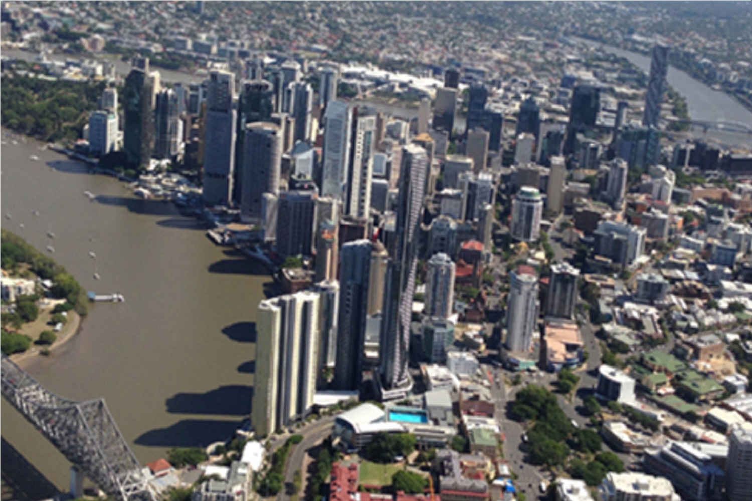
Orthophotography is commonly used as base maps in the Geographic Information System (GIS). These maps are compiled with the collection of aerial photographs, which are oriented through trigonometric processes and then molded to the ground elevation data you prefer. After this process is complete, the final product is what is known as an Orthorectified Base Map.
LiDAR Collection
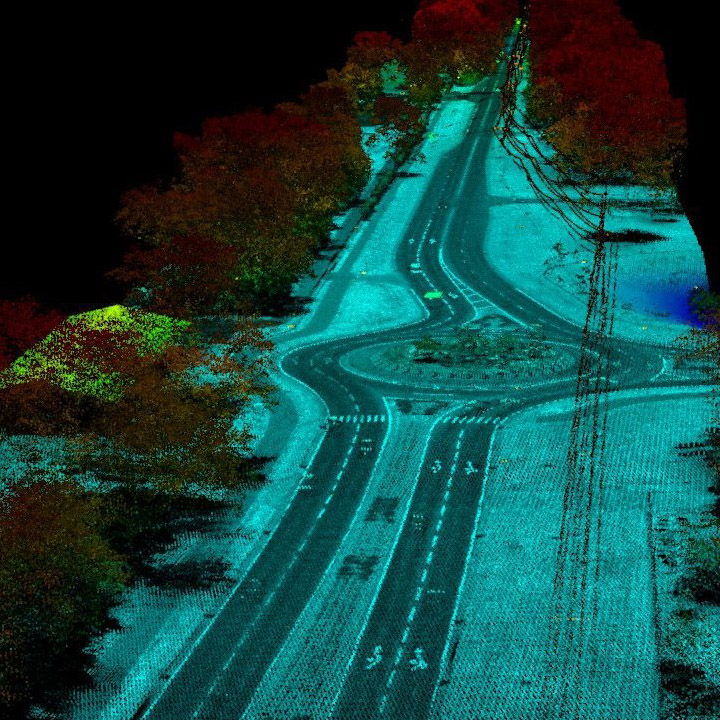
Power companies take notice! Need LiDAR for your transmission lines? Think that the helicopter platform is the only way to get the point density you need? Williams has modified single engine, slow flying, fixed wing aircraft to run our LiDAR sensor. This combined with the high speeds achievable from the sensor itself will provide the point densities you need at a significant cost savings. Contact us today to discuss.
Sensors
Our state of the art sensors allow us to acquire emulsion, digital, and LiDAR data for your projects, on your schedule.
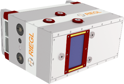
Riegl VQ-780i
- Online waveform processing as well as smart and full waveform recording
- Excellent multiple target detection capability
- Multiple-Time-Around (MTA) processing of up to 25 pulses simultaneously in the air
- High laser pulse repetition rate up to 1 MHz
- Up to 666,000 meas./sec on the ground
- Parallel scan lines and uniform point distribution
- Interface for GNSS time synchronization
- Seamless integration and compatibility with other RIEGL ALS systems and software packages
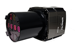
UltraCam Falcon M1
- PAN, color and NIR data captured in one pass
- Choice between two footprint sizes (14,430 pixels across or 17,310 pixels across) and two lens focal lengths (the standard 100mm Pan or wide angle 70mm Pan)
- Solid-state image storage system that holds approximately 7,500 images (with 14,430 pixel footprint) and 5,200 images (with 17,310 pixel footprint)
- Maximum frame rate 1.0 | 1.35 seconds per frame
- Panchromatic physical pixel size: 7.2 μm (6.0 μm)
- Compatible with UltraNav flight management and direct georeferencing system from Applanix