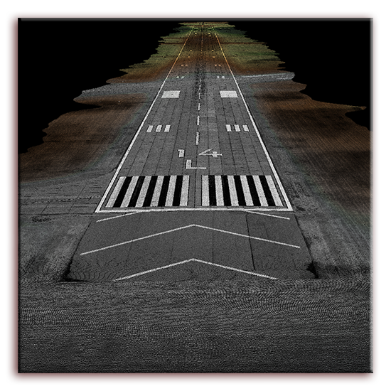
LiDAR Acquisition & Processing
Light Detection and Ranging (LiDAR) has revolutionized the acquisition of digital elevation data for all scales of mapping applications. Williams Aerial & Mapping, Inc. was the first in the region to acquire a Trimble Harrier 68i in order to provide superb elevation and image coverage for your projects. Examples would include power line corridors, highway mapping, quarry updates and volumetrics, along with many other applications.


LiDAR Acquisition and Processing
Here at Williams we have an extensive background with LiDAR collection and production. Our pilots are highly trained for the process of LiDAR point collection and have tens of thousands of hours of collection since 2014. We have experience collecting data for highway corridors, pipeline projects, power-line mapping and wide area mapping jobs.
Our slow flight aircraft equipped with the canard wing allows us to collect lidar comparable to helicopters at a quarter of the cost.
Our processing team is equally experienced as well. We pride ourselves in processing the data for your job in house with a highly trained and skilled team. With a total of over 60 years of photogrammetry background, our team will develop a solution to fit any requirements for your project.